GFS Europe
GFS Europe
Latest run: 12z
Last updated map: 384h
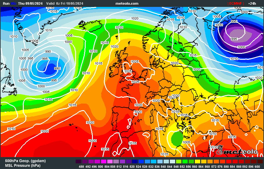
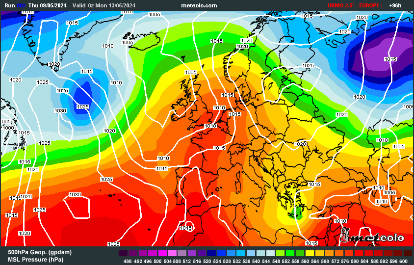
Mean Sea level Pressure + 500hPa Geopotential height & Temperature
500hPa Temperature & Geopotential height
850hPa Temperature & Geopotential height
Accumulated Precipitation & Snow level
About Weather Models
GFS
The American GFS (Global Forecast System) model run in two parts: the first part (higher resolution) goes out to 192 hours with charts for every 6th hour. The second part (lower resolution) runs from 204 to 384 hours with charts for every 12th hour. In other words, first part goes to 8 days and second part goes to 16 days.
This numerical model is run four times a day, using 0, 6, 12 and 18 UTC data, and charts update begins at 3:30, 9:30, 15:30 and 21:30 UTC. First part resolution charts is about 100km (1º), and second part is about 250km (2.5º).
This model is run by National Oceanic and Atmospheric Administration (NOAA)
ECMWF
ECMWF is best known for this global operational forecast model, been officially known as the "Integrated Forecast System (IFS)" but usually known informally as the "ECMWF" (European Centre for Medium-Range Weather Forecasts)
The IFS is a global model that runs every 12 hours and its output runs out to 10 days (240 hours) in 24 hours intervals. Original IFS resolution is about 50km (0.5º), but charts resolution is interpolated to 100km (1º).This numerical model is run two times a day, using 0 and 12 UTC data; charts update begins at 6:00 and 18:00 UTC.
This model is run by European Centre for Medium-Range Weather Forecasts (ECMWF)
UKMO
UKMO, also known as UKMET (United Kingdom Met Office), is the global model product of Unified Model.
The UKMO model runs every 12 hours and its output runs out to 3 days (72 hours) in 6 hours interval (6h to 48h) and 12 hours interval (48h to 72h), with a resolution about 125km (1.25º). This numerical model is run two times a day, using 0 and 12 UTC data; charts update begins at 3:50 and 15:50 UTC.
This model is run by Met Office


